Aerial Photography
Aerial Photography gives an amazing perspective differ from the grounds. Being able to get a photo at a high altitude of landscapes and cities can be breath taking. It is a sight that we do not see on a day to day basis (unless you are a pilot). It gives a sense of how big the world is within a photo depending on the lens used. But for the most part, the amount of detail present is just riveting.
Overview
Aerial Photography is a subset of photography where the photo details a particular landscape from the sky. This usually requires a vehicle where it would take a camera up at a high enough altitude to get a photo. The vehicle of choice to reach up a high enough altitude may vary from helicopters, hot air balloons, planes, drones and such. All the tips and tricks below are for helicopters, drones and planes. However, the concept of taking landscape photos from a high altitude can be breath taking.
Things You Need
Camera (DSLR, Mirrorless, Go Pro and such)
Phone Camera (iPhone, Pixel, Samsung Galaxy just to name a few phone examples)
Strap of some sort for open door helicopter ride (Peak Design Wrist Strap, Peak Design Slide Strap)
Vehicles: Plane, Helicopter, Hot Air Balloon, Rocket or something
Optional: Drone (for Drone Photography)
From a Helicopter
Helicopter open door by far has been one of the best ways to capture an image. Without the glare of the door itself, it provides the best views.
On my Oahu / Maui trip, I flew in a helicopter over Oahu with doors open for a tour on one of those days. I was able to capture a variety of shots ranging from a focused shot of the Mokauea Island to a wide shot of Honolulu to a photo behind the helicopter door of the helicopter to have that “welcome to Hawaii” feels.
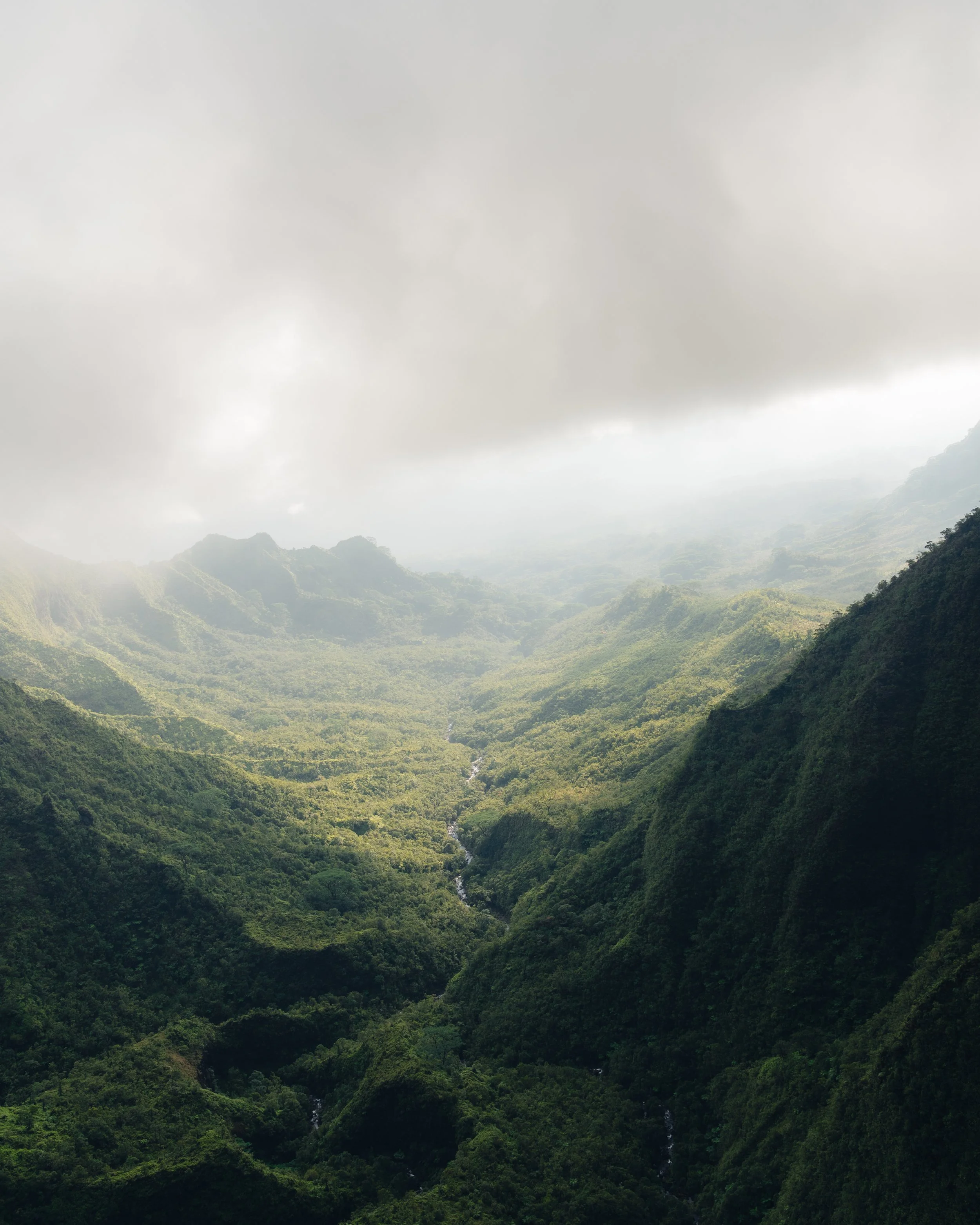
Another trip that I took in Kauai a few months back involved a helicopter ride near a waterfall. As we were turning back around, I was able to get a photo of the gorge in Kauai. It was an amazing shot shown below of the massive gorge.
Recommended Tips:
Have a camera strap to attach your camera to your body so nothing gets loose during flight on doors open
Wear a jacket during the flight, it gets extremely cold and windy.
If you are able to plan out a flight plan with your helicopter pilot on different landscapes, please do so, it would help with pictures that you want to capture
Examples below:
Photo 1: Mokauea Island zoomed in shot
Photo 2: Kauai Helicopter ride shot at a gorge
Photo 3: A shot taken near Bridge to Heaven (if I recall correctly?)
Photo 4: This photo was featured on Rainbow Helicopter’s Instagram, the picture shows that I was in a helicopter with the door open. This shot was suppose to be a shot where it is suppose to reveal a “Welcome to Hawaii” shot from a helicopter.
From a Plane Settings
Taking photos from a plane can be difficult with limited space, glares from windows and the vibrations. Most cameras nowadays do have stabilization so it should limit the amount of jitter you would get per shot.
Recommended Tips:
To reduce glare, use your hand to cover over the top portion of the camera. With the way light is reflected, having a hand hover over the camera to reduce glare is a fairly effective technique.
Place the camera as close to the window as much as possible. As long as you do not break the glass / scratch the glass, it would help take a clear photo of the wing with the clouds and / or city.
Examples below:
Photo 1: Flying back from Kauai
Photo 2: Flying over the mountains in LA
Photo 3: Head in the Clouds feels~
Photo 4: Over some mountains in LA
From a Drone
As technology continues to develop, drones become more of an available option for aerial photography. Drones are remote controlled and can be flown at various altitudes within the limitations of the drone controls. Some drones today has a ADS-B Sense system to be able to detect incoming aircrafts around the area. When warning signs appear on the controller, it would be recommended to maneuver away from any vehicles and always be aware of the surroundings.
At the moment, I currently use a DJI Mavic Air 2 to capture photos where I am not able to get to from above. The DJI Mavic Air 2 has the capability of stitching together multiple photos to create a super wide angle landscape photo. At times this would be cool to see what is around the area. This would be a rough equivalent of a 12mm view. The photo below taken at Inspiration Point in Santa Barbara was a photo taken with my drone to show the amazing landscape with a view at a certain altitude I could not reach.
However, drone laws / regulations has increased overtime due to improper use from certain drone pilots. Be sure to download the B4UFLY App on your phone prior to flying to make sure the landmark you fly around is authorized.
Drone Shot at Inspiration Point Santa Barbara


